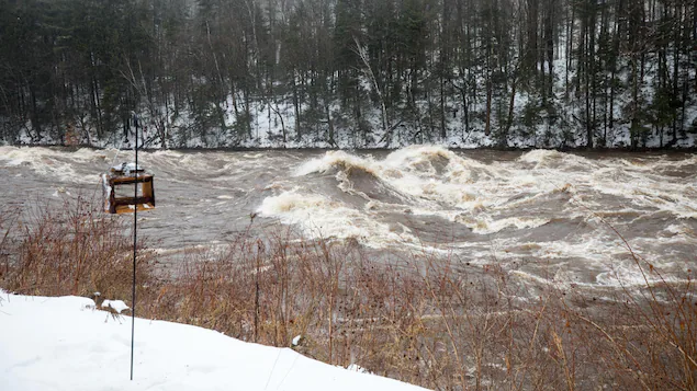
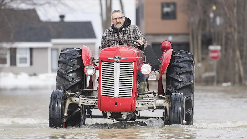
We want to cover other hazards, such as wildfires and other types of storms, such as hail and different types of river, urban and coastal floods
says Geosapiens CEO, Hashem Akili.
This Geosapiens goal is timely, with a recent report concluding that extreme heat in Canada could cause more floods and fires in the coming years.
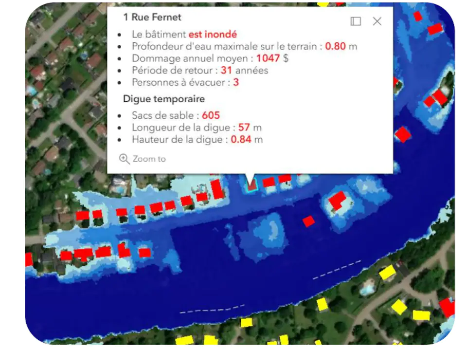
real time map
The E-NUNDATION app provides real-time streaming data.
And unlike other tools, our unique solution converts all data into a map and also allows you to get forecast data up to a few days in advance.
CEO confirms. It really allows you to see how it can translate in real life.
Geosapiens’ main clients are municipalities and insurance companies. Cities can quickly intervene in the event of a disaster, and be more efficient. In insurance, it allows for better risk sharing between owners and insurance companies
According to Hashem Aqili.
In 2021, the city of Rigaud tested the Montérégie E-NUNDATION. Flood monitoring has been of interest to decision makers, as have other disasters.
By choosing this tool, and after a pilot project, our philosophy is that every dollar invested in civilian security serves more than one risk, that’s for sure.
says Eric Martel, assistant director and civil security coordinator for the Rego Fire Department.
So he hopes the Geosapiens tool can quickly integrate data including bank erosion, glacial bottlenecks, as well as flood management.
central tool
E-NUNDATION works well, according to Eric Martel, if combined with other tools and with the expertise of Hydro Météo, one of Geospaiens’ partners.
In concrete terms, the E-NUNDATION is that we quickly know the information required by several calls with various stakeholders
Follows the Civil Security Coordinator.
Thus, municipal officials can open the application and see how many homes will be affected by the possible flooding of the Ottawa River. Almost in one click we know the number of houses. If the number is 300, we say that there are at least two people per dwelling, so we set up a reception center for evacuees for about 600 people.
Shows.
cheap
According to Eric Martel, the tool is accessible because it is not used 12 months out of the year. We pay when we need it
He says.
Plus, even if the spring of 2022 has so far been very mild in Quebec in terms of flooding, the monitoring tool is not useless, according to Geosapiens CEO.
For municipalities, it is a central monitoring tool. Everything is in the same place. So the efficiency is also there, and it allows cities to plan better
Hashem Aqili explains.
The application is not yet officially used in Capitale-Nationale and Chaudière-Appalaches.
However, in recent years, Quebec City has provided Geosapiens with grants to continue its activities, in particular for a project on the L’Assomption River in Lanaudière.
The E-NUNDATION tool was first developed at the National Institute of Scientific Research by students, alumni and professors. The team then set out to commercialize it by creating Project Geosapiens.

“Alcohol scholar. Twitter lover. Zombieaholic. Hipster-friendly coffee fanatic.”


